


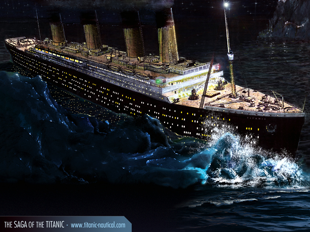

Regular readers know that I like to keep an eye on the ebb and flow (or maybe I should say floe) of Arctic sea ice, an interest not widely shared among other financial advisers. But this week's centenary of the R.M.S. Titanic disaster has, for once, drawn attention to the far north's floating ice apart from the subject of climate change.
Or maybe not.
Here is an excerpt from a New York Times report published on May 5, 1912, a few weeks after Titanic went down:
"An unprecedentedly warm Winter in the entire arctic is believed to be the cause of the vast number of icebergs adrift in the North Atlantic Ocean during the present season and for the low latitudes which many of them have reached. Navigators and scientists of the Hydrographic Office and the Revenue Cutter Service in Washington have theories tending to prove that an unusually heavy snowfall in Greenland, where all icebergs are formed, in the Winter of 1910-11 was followed by an unusually hot Summer, and by a very mild Winter in 1911-12, these conditions resulting in the creation of an enormously large crop of icebergs from the West Greenland glaciers, and of floe, or field ice. Unusual northerly and northwesterly winds have blown these bergs far to the southward."
The article describes summer weather that brought temperatures as high as 94 degrees Fahrenheit to Greenland the previous year. This was followed by a winter that produced severe conditions on the East Coast of the United States, but very mild weather in Labrador and Greenland, at least according to the scanty data of the period.
"Information has just been received...from Donald R. McMillan, who was with Peary on his arctic dash, and who is now in northern Labrador, preparatory to an exploration trip into the far North," The Times reported. "He states that the past Winter has been an unusually mild one in the entire arctic, causing much more ice than usual to break up and float southward with the Labrador current. He said...that he expected to find areas in the arctic free from ice which have not been clear in more than a quarter of a century. What caused this unusually mild Winter? There is no scientific data on this point at hand."
The report goes on to mention that Alaska "reported during the past Winter the mildest weather ever known there at that season." The descriptions suggest a weather pattern similar to what occurred in the winter of 2009-10, when El Nino brought a mild winter to Alaska, while a deeply negative North Atlantic Oscillation produced severe cold and heavy snow over the U.S. East Coast even as temperatures in Labrador and Greenland were exceptionally mild. Scientists a century ago knew nothing about the NAO; El Nino was not known to affect conditions beyond the west coast of South America, where fishermen had long been aware of the occasional odd warming of the water that drove their prey away while bringing flooding rains to nearby deserts.
Today's satellites and other communications advances allow us to see and measure conditions over far more of the globe than could our forebears a century ago, and scientific study and computer modeling have given us a better knowledge of how weather and climate operate. But these two advances have not moved in lockstep. What we can see and measure has increased faster than what we can explain and predict.
The National Snow and Ice Data Center in Boulder, Colo., reported recently that Arctic sea ice reached its maximum extent for the season on March 18, at 5.88 million square miles. This was the highest figure in the past nine years, though still well below the average that was established during the first 21 years of satellite measurements, between 1979 and 2000.
Most climate averages are based on 30-year record periods. The NSIDC's baseline measurements cover a shorter period, which makes it more difficult to know how much natural variability there is in the ice cover of the northern seas over longer stretches of time. What we know for certain is what we can see via satellite: The ice fields declined steadily in the 1980s, the 1990s, and the first part of the 2000s, and the declines have been greater in summer than in winter. Since then, the trend has not been clear. Last summer's minimum was the second-lowest yet recorded, but was not quite as small as the ice cap measured in 2007.
People tend to see in these numbers what they expect to see. Those who believe climate change will rapidly deplete the Arctic's ice floes see no contradiction in the fact that the observations in recent years seem to have stabilized; some models have reportedly predicted that the ice will decrease in more of a stair-step pattern than a linear one. Those who believe that some dire forecasts have veered into hyperbole, if not fantasy, including Al Gore's 2009 pronouncement that summer ice would be gone in less than a decade, wonder: If everyone is so certain that the ice is disappearing, why the need to spin contrary data?
The NSIDC reports fall into the pro-spinning camp. When ice was reaching new lows, those lows were loudly trumpeted. When the lows stopped coming, the emphasis shifted - first to the reduction in multi-year ice (a certainty, since the process of recovering from low points would have to begin with first-year ice), or to reported reductions in ice thickness (also a function of the age of the ice), or to variations in wind patterns spreading the ice over larger areas (though the wind patterns in the 21-year baseline period are not analyzed for comparative purposes).
Its most recent reports fit the pattern. Noting that this year's maximum was the ninth-lowest in the satellite record, the NSIDC added, "Including this year, the nine years from 2004 to 2012 are the nine lowest maximums in the satellite record." While true, this reflects the downward trend that occurred between 1979 and 2004; all it says about the subsequent period is that the ice has not thus far recovered to pre-2004 levels. The NSIDC could have said, with equal accuracy and equally little relevance, that the past 33 years have been the 33 lowest years in the satellite record, which is exactly 33 years long.
Was the Arctic sea ice pack larger or smaller in 1979 than in 1912, when Titanic sailed? Or than in 1958, when the American nuclear submarine Nautilus first traversed the North Pole beneath the ice cap? We really don't know. Has the ice pack ever been as small as it presently is before recovering? We don't know that, either.
None of this is to deny that the Arctic's measured temperatures or ice extent have changed over time, or that they are likely to change in the future. But when we extrapolate predictions from data that is severely limited both in time and in geographic extent, the margin for error is very high.
Dangerous ice still floats down on the Labrador Current, and ships still traverse the North Atlantic in springtime, yet we may never hear of another major shipping accident due to an iceberg. We can see things so well that such tragedies need never happen again. What we can see and what we can predict, however, are not the same.
No comments:
Post a Comment